|
|
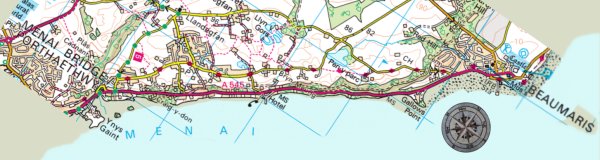
Introduction | Day 1 | Day 2 | Day 3 | Day 4 | more to come... |
|
3rd May 2022 - Day 4 of my Anglesey Coastal Footpath trip...
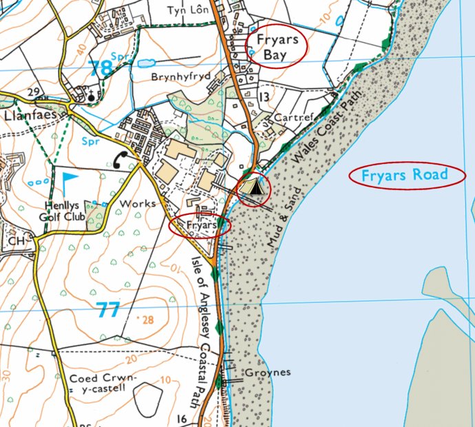
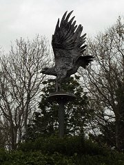
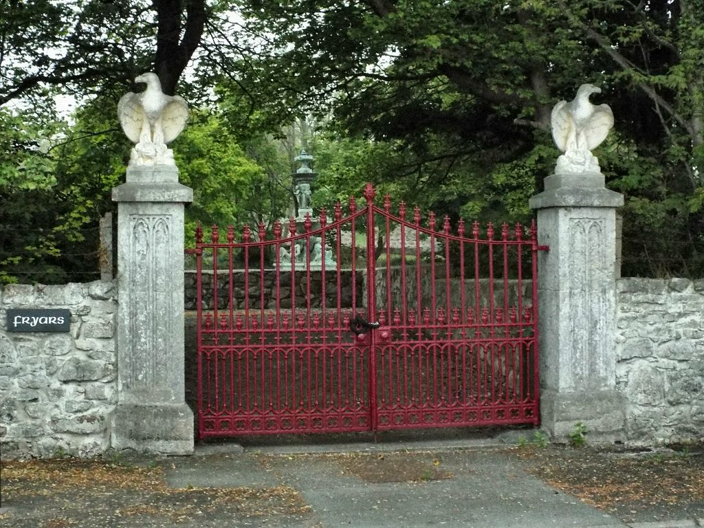
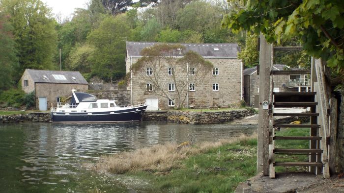
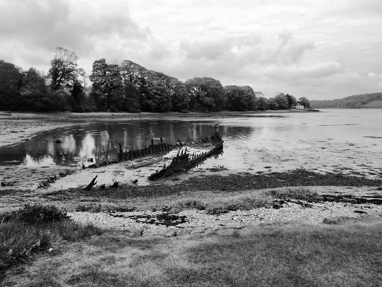
The first stretch took me past Fryars, which turns out to have a fair amount of history about it, as well as birds adorning the property.
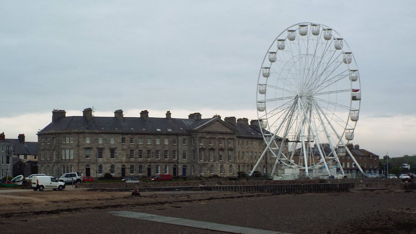
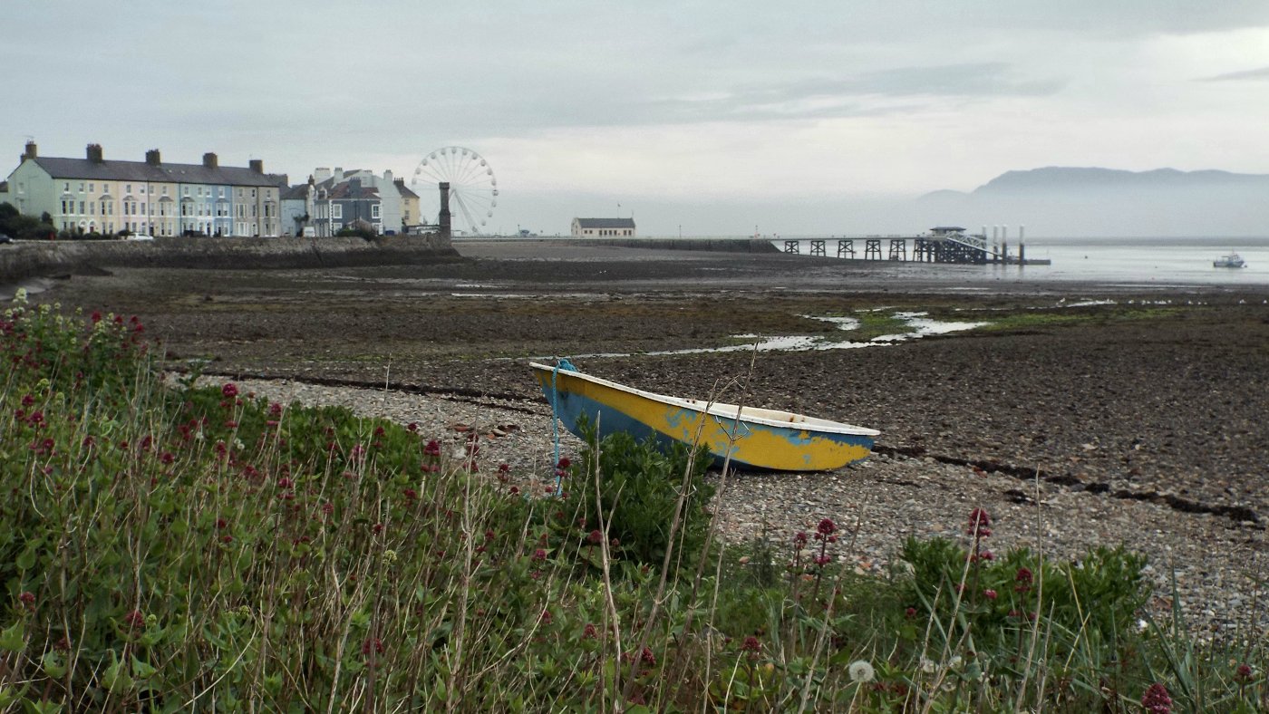
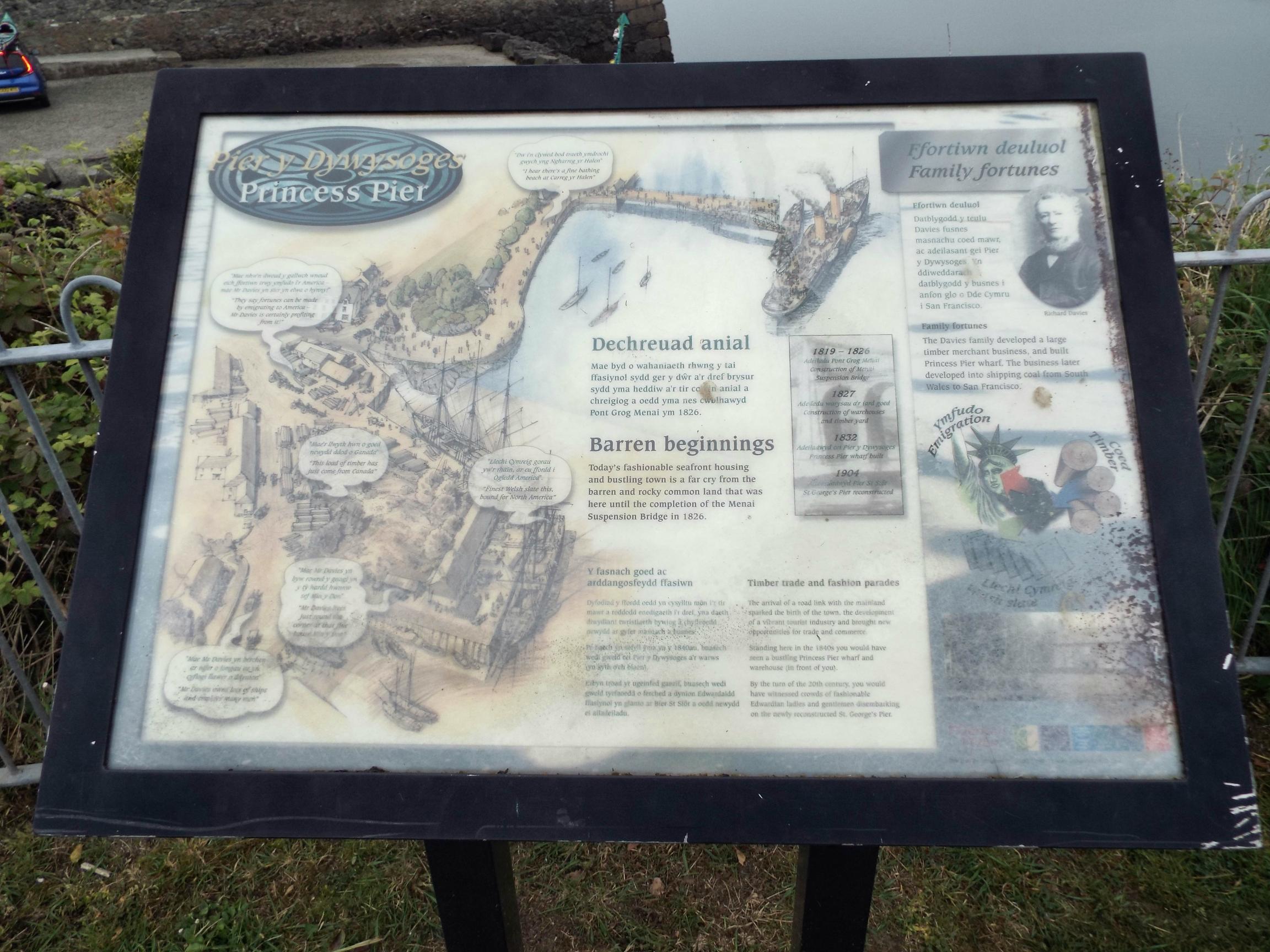
I made it into Beaumaris before 7am and before the main shop in the village was open. The local newsagents was open already though, so I bought postcards and postage stamps and wandered a short distance to sit on a bench and write up the cards. By the time I'd done that the local shop was open so I could buy some food and post the cards. I then made my way to the end of the pier to sit on another bench, enjoy the views, and eat the food I bought - a large baguette, some salad and a tub of reduced-priced double cream! (a great source of calories I realised!)
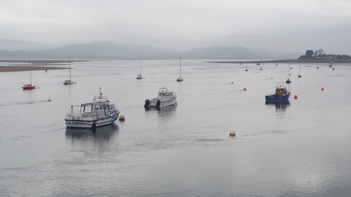
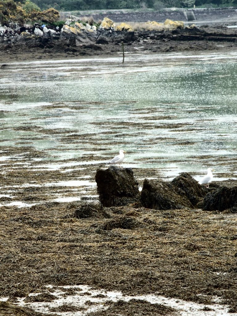
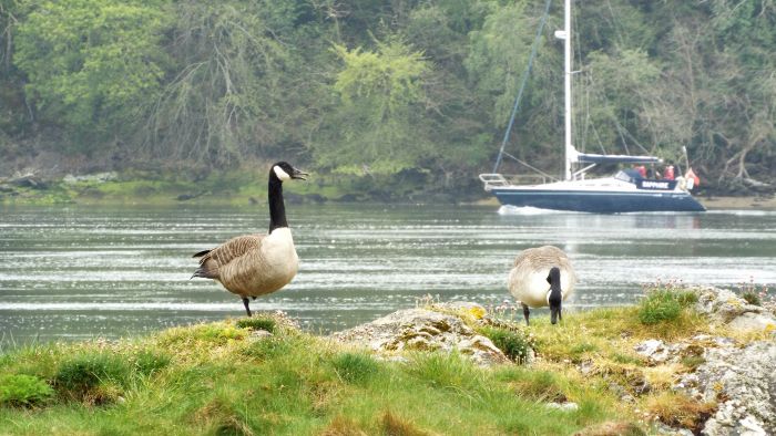
As I continued my walk in this early morning I got to enjoy the sleepy boats on the still waters:
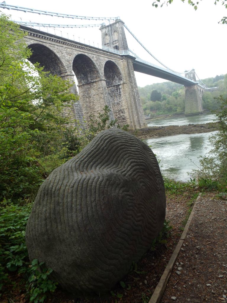
There I saw this large caved rock; I don't know when the intricate pattern was made - it looks modern and machined due to the precision, but perhaps I'm wrong.
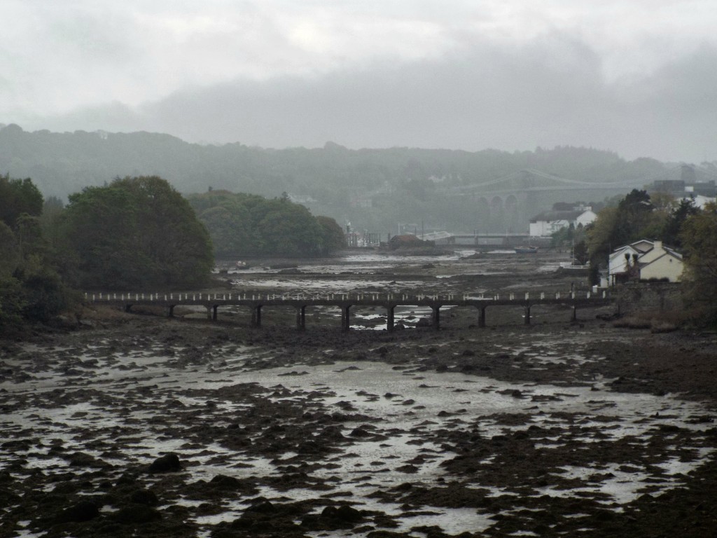
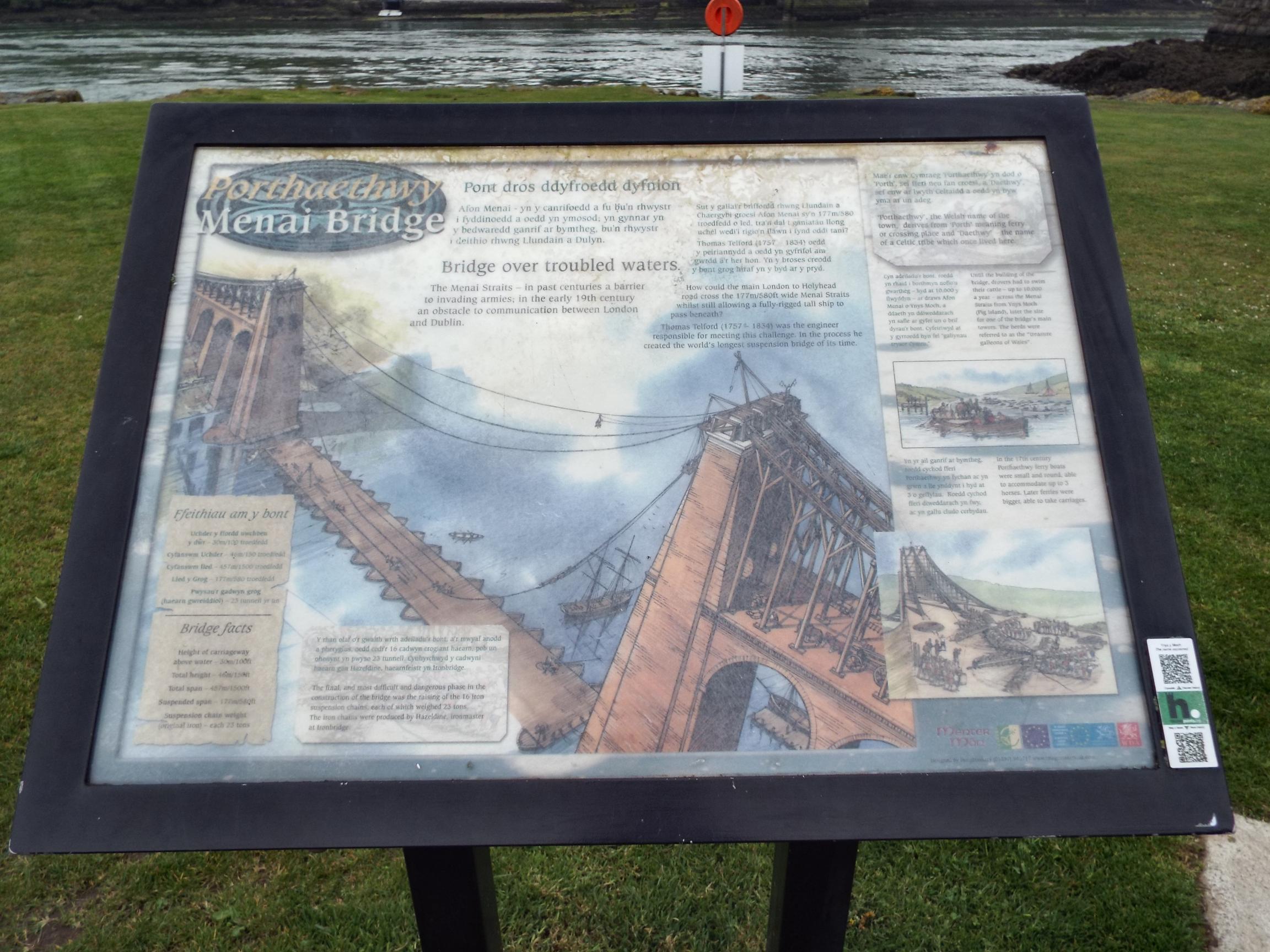
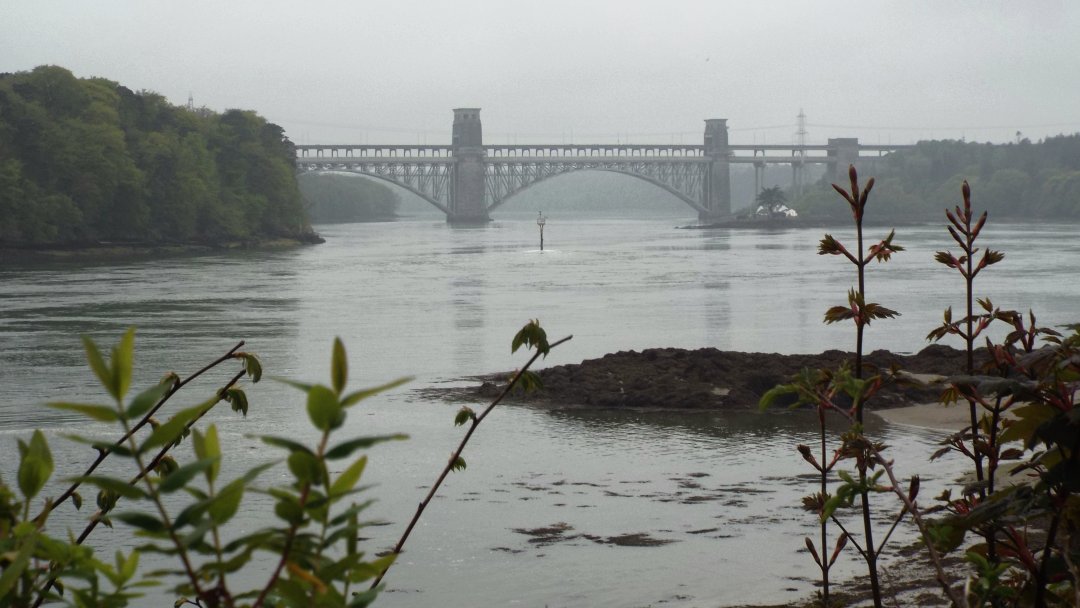
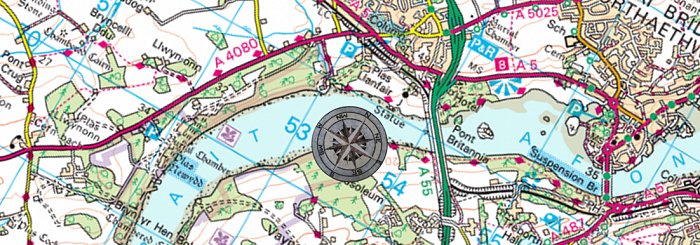
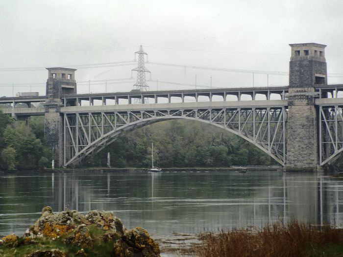
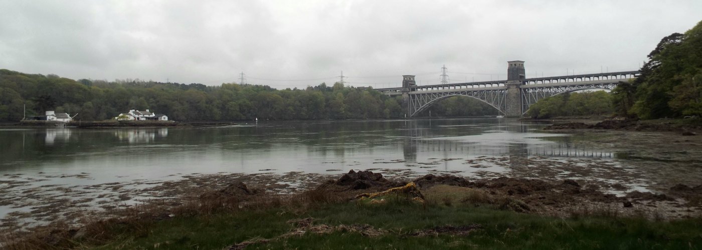
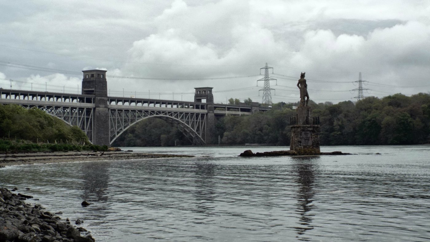
Further along and the Britannia Bridge, the second bridge that connects Anglesey with the mainland (via road and rail) was coming into view.
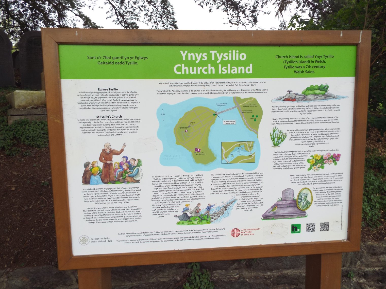
Before getting that far I arrived at Church Island / Ynys Tysilio, just on the other side of the Menai Bridge.
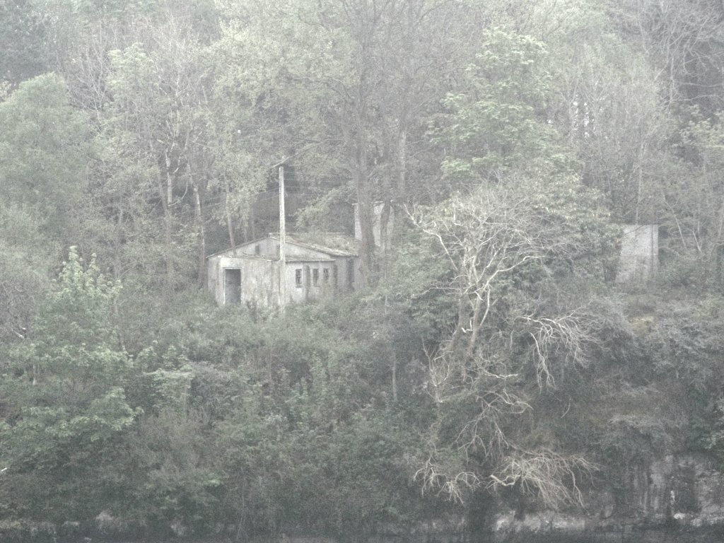
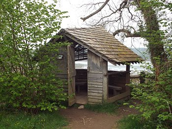
There was this little hut alongside the path, from which could be enjoyed views along the Straits; I could look back towards the photogenic Menai Bridge.
Here is the Britannia Bridge in all its glory:
The path took me under the second bridge also.
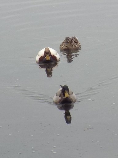
I wasn't the only one out in the water...
Out of the water, and wrapped in a towel, some other walkers appeared... I grinned sheepishly! Then got dressed and continued on my way.
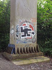
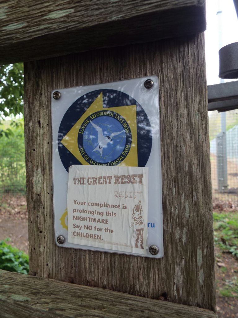
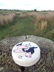
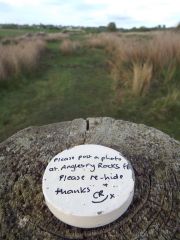
The path took me through some gates, where I saw some more of that graffiti! Then up some steps...
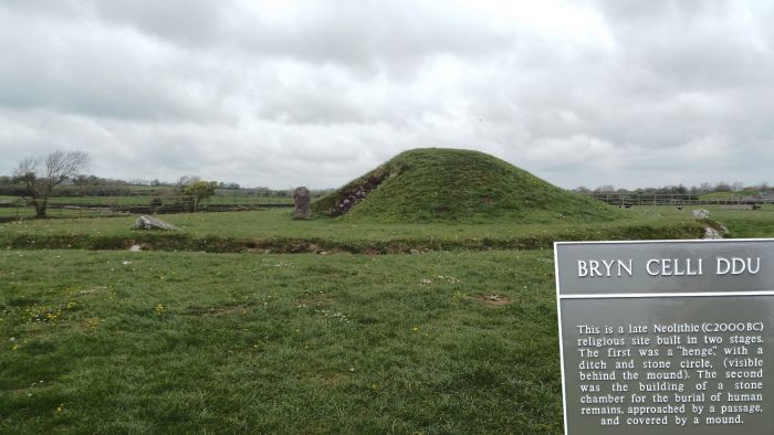
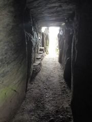
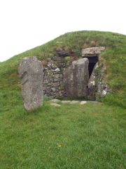
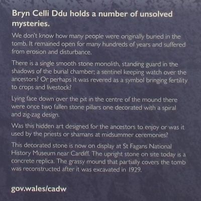
And then inland a little, to Bryn Celli Ddu, an ancient monument that I can only describe as a mini version of Newgrange in Ireland.
An hour later I was back out to the water's edge.
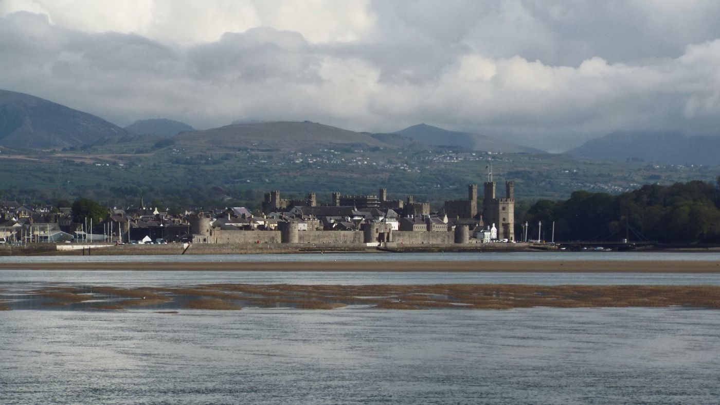
By late afternoon I was back at the coast overlooking the Straits to Caernarfon where I could see Caernarfon Castle.
I'd reached Brynsiencyn where a little further on was first the Anglesey Sea Zoo, but too late to order anything from the cafe, and then Foel Farm. Here, as I arrived were the last tourists rides of the day going by, with tourists in trailers being pulled along by tractors. A friendly farmer gave me a wave. It was 4:40pm now and the cafe here had also finished serving food but I was able to get a cup of coffee and a flapjack. Then as I was tucking into these the farmer who had given me a wave upon my arrive popped by for a friendly chat about my walk - I was evidently doing the Coastal Footpath! Back out on the path I found this curious hand-painted stone on a gatepost:
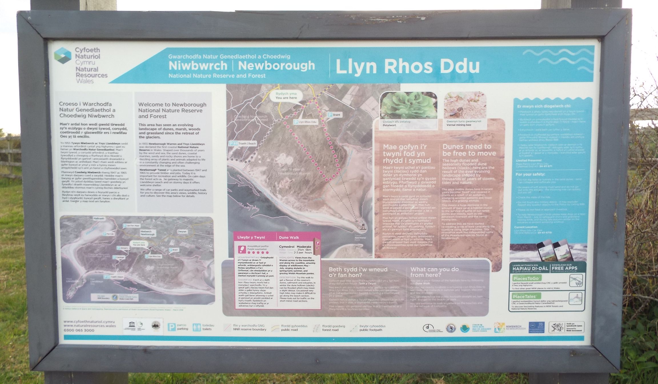
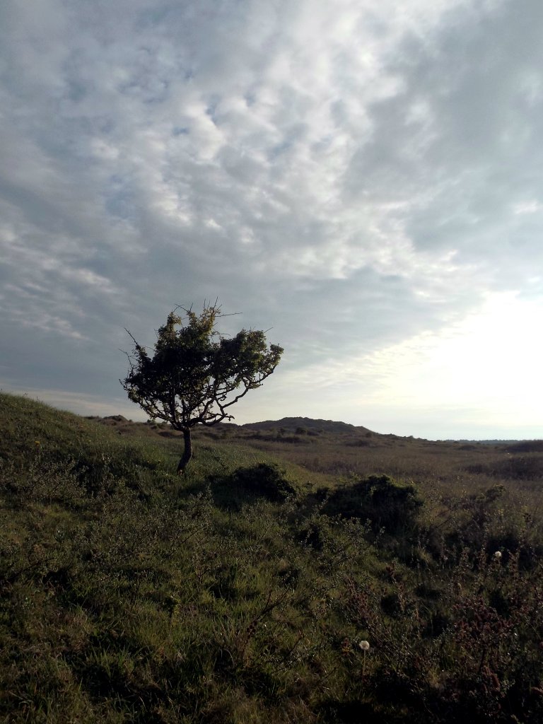
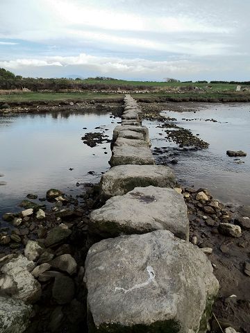
Next up I had to cross these large stepping stones [right]. For some reason I have a slight phobia about stepping over water like this, but I just convinced myself it was perfectly safe and many others will have taken this route each day before me. Next up I arrived at Llyn Rhos Ddu, Newbourough, a nature reserve consisting of sand dunes.
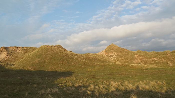
There are a variety colour-coded
footpaths here but I manage to get
myself "lost", or rather I ended up in
the depth of the dunes having turned
off down a wrong footpath for where I
wanted to head.
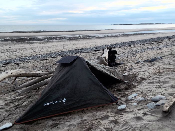
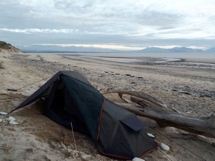
Eventually I found my way out to the beach and onto a relatively flat patch of sand (most was sloped), and after some further leveling I pitched my tent.
It all felt very "Lord of the Flies" but I hoped I would have a comfortable night's sleep on the soft sand.
*This data is preliminary and upon my return I noticed a discrepancy between "official map distance" and what my Fitbit reported. [ Day 5 coming soon ] |


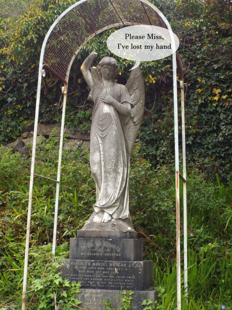
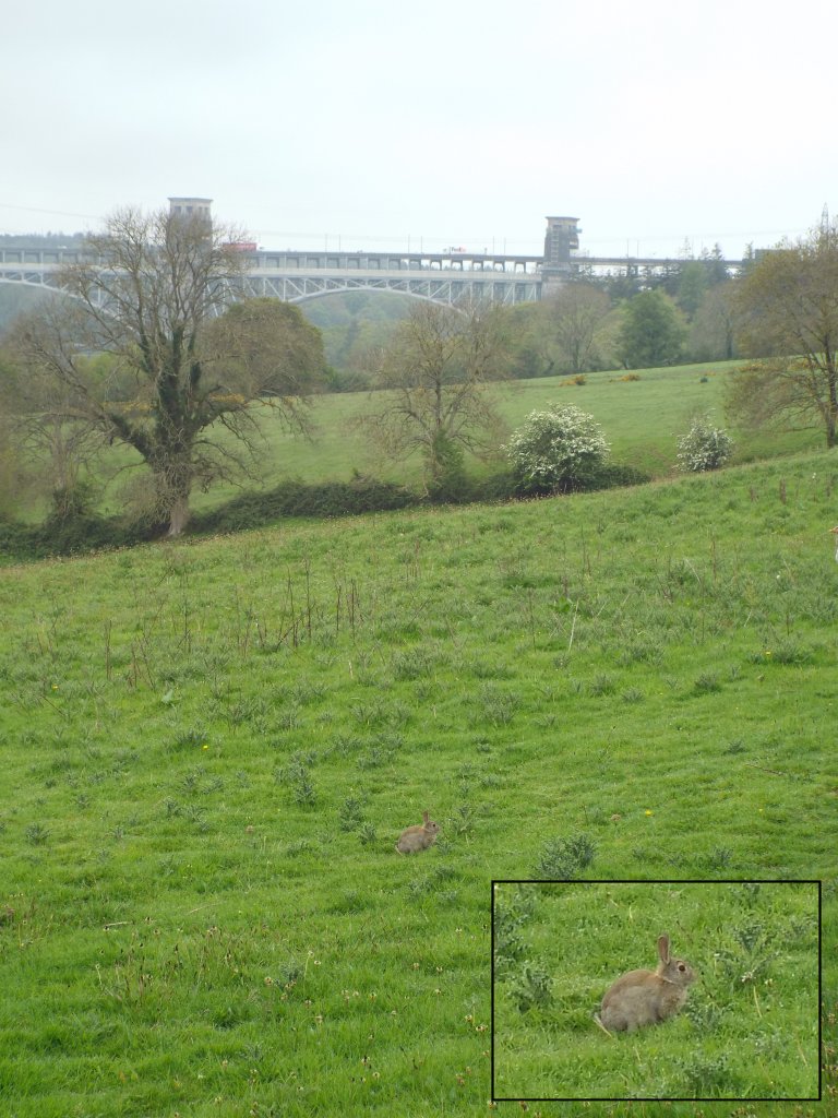
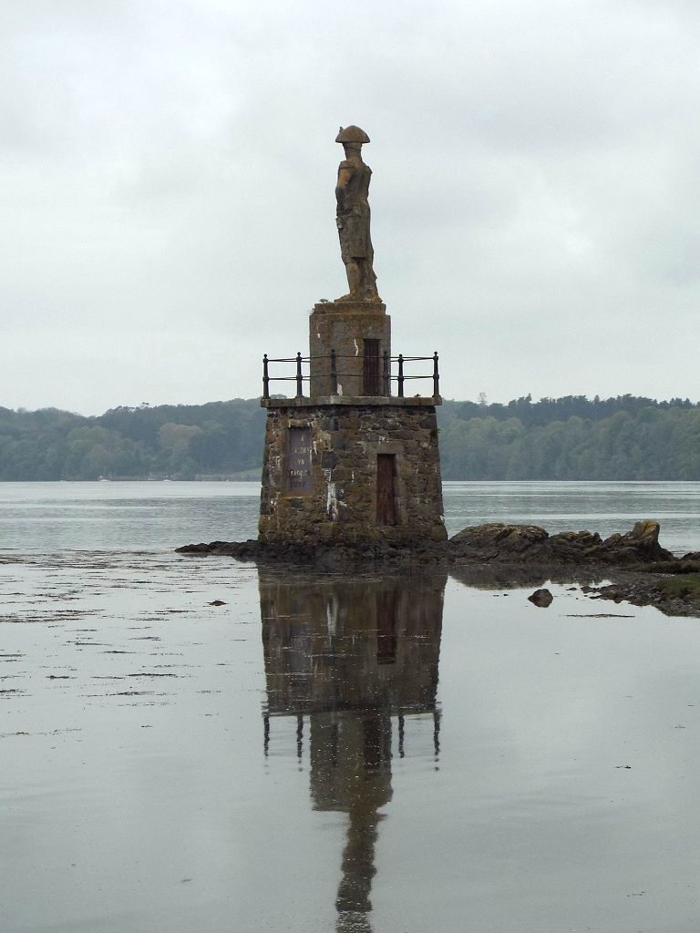
 Back
to the footpath proper after my detour
around the little island of graves,
the Britannia Bridge started to come
into view.
Back
to the footpath proper after my detour
around the little island of graves,
the Britannia Bridge started to come
into view.


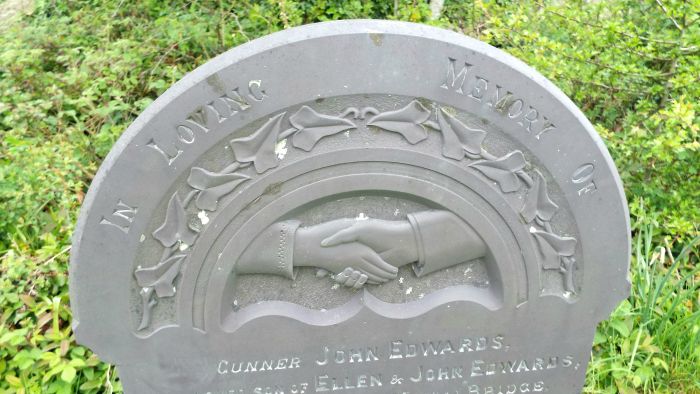
 Seemingly
I was permitted to take it with me to
deposit somewhere else, so I did so.
Seemingly
I was permitted to take it with me to
deposit somewhere else, so I did so.